Methods of Landscape Archaeology in Irish Prehistory
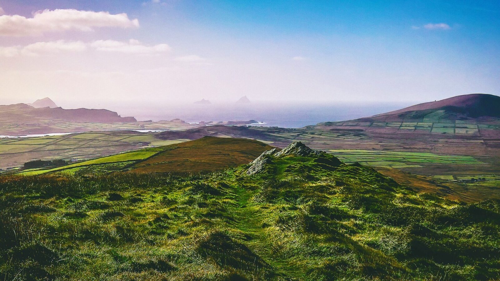
Landscape archaeology is a dynamic field that seeks to understand the intricate relationships between human societies and their environments over time. In the context of Irish prehistory, this discipline offers a unique lens through which we can explore the myths, rituals, and daily lives of ancient peoples. By examining the methods employed in landscape archaeology, we can uncover the stories embedded in the land, revealing how landscapes were not only shaped by human activity but also how they influenced cultural narratives and beliefs.
Remote Sensing Techniques
One of the most revolutionary advancements in landscape archaeology has been the use of remote sensing technologies. These methods allow archaeologists to survey and analyze large areas of land without the need for invasive excavation. Techniques such as aerial photography, LiDAR (Light Detection and Ranging), and satellite imagery have transformed our understanding of the Irish landscape.
Aerial Photography
Aerial photography has long been a staple in landscape archaeology. By capturing images from above, archaeologists can identify features that are often invisible from the ground. In Ireland, this method has revealed numerous ancient structures, including burial mounds, ring forts, and field systems. The play of shadows and light across the landscape can highlight subtle earthworks that might otherwise go unnoticed.
LiDAR
LiDAR technology takes this a step further by using laser pulses to create highly detailed three-dimensional models of the terrain. This method has been particularly successful in uncovering hidden archaeological features beneath dense vegetation, such as the extensive Neolithic landscape in the Boyne Valley, where the famous passage tombs of Newgrange and Knowth are located. LiDAR has allowed researchers to map ancient field systems and track changes in land use over millennia.
Satellite Imagery
Satellite imagery provides a broader perspective, allowing archaeologists to study large-scale patterns in the landscape. In Ireland, this method has been used to analyze the distribution of archaeological sites across regions, helping to identify settlement patterns and trade routes. By combining satellite data with ground-based surveys, researchers can create a comprehensive picture of how ancient communities interacted with their environment.
Ground Surveys and Excavations
While remote sensing provides valuable insights, ground surveys and excavations remain essential methods in landscape archaeology. These techniques allow archaeologists to gather detailed information about specific sites and their contexts.
Field Walking
Field walking involves systematically walking over a designated area to identify surface artifacts. This method has been particularly effective in Ireland, where ploughing often brings ancient objects to the surface. By recording the location and type of artifacts found, archaeologists can map human activity across the landscape, revealing patterns of settlement and land use.
Test Excavations
Test excavations, or trial trenches, are small-scale digs conducted to assess the potential of a site. These excavations can provide crucial information about the stratigraphy of the landscape, helping researchers understand the chronological sequence of human activity. In Ireland, test excavations have uncovered evidence of prehistoric dwellings, ritual sites, and agricultural practices, shedding light on the daily lives of ancient peoples.
Full Excavations
When significant archaeological features are identified, full excavations may be undertaken. These extensive digs allow archaeologists to recover artifacts, ecofacts, and features in their entirety, providing a wealth of information about past societies. In Ireland, major excavations at sites such as the Hill of Tara and the Loughcrew passage tombs have revealed rich material culture and insights into the social and spiritual lives of prehistoric communities.
Geographical Information Systems (GIS)
Geographical Information Systems (GIS) have become an indispensable tool in landscape archaeology. This technology allows researchers to analyze spatial data, integrating information from various sources to create detailed maps and models of the landscape.
Spatial Analysis
GIS enables archaeologists to conduct spatial analysis, examining the relationships between archaeological sites and their environments. For instance, researchers can analyze the proximity of settlements to water sources, fertile land, and trade routes. In Ireland, GIS has been used to study the distribution of megalithic tombs, revealing patterns that suggest a connection between these structures and the surrounding landscape.
Predictive Modeling
Predictive modeling is another powerful application of GIS in landscape archaeology. By analyzing existing data, archaeologists can create models that predict where undiscovered sites are likely to be located. In Ireland, this approach has been used to identify potential archaeological hotspots, guiding future fieldwork and ensuring that significant sites are not overlooked.
Ethnoarchaeology and Experimental Archaeology
To better understand the relationship between ancient peoples and their landscapes, archaeologists often turn to ethnoarchaeology and experimental archaeology. These methods provide insights into how past societies may have interacted with their environments.
Ethnoarchaeology
Ethnoarchaeology involves studying contemporary societies to draw parallels with ancient cultures. By observing how modern communities use and interact with their landscapes, archaeologists can gain insights into the practices and beliefs of prehistoric peoples. In Ireland, researchers have studied traditional farming methods and land use patterns among rural communities, providing valuable context for understanding ancient agricultural practices.
Experimental Archaeology
Experimental archaeology involves recreating ancient techniques and practices to better understand how they were carried out. This method has been particularly useful in studying prehistoric construction techniques and agricultural practices. For example, by reconstructing ancient field systems or building methods, archaeologists can gain insights into the skills and knowledge required to shape the landscape. In Ireland, experimental archaeology has shed light on the construction of megalithic tombs and the agricultural practices of Neolithic farmers.
Integrating Myth and Landscape
In the context of Irish prehistory, landscape archaeology also intersects with the study of myths and legends. The Irish landscape is rich with stories that have been passed down through generations, often tied to specific locations. Understanding the cultural significance of these landscapes can provide deeper insights into how ancient peoples perceived and interacted with their environment.
Mythological Landscapes
Many archaeological sites in Ireland are imbued with mythological significance. For instance, the Hill of Tara is not only an archaeological site but also a legendary landscape associated with the ancient kings of Ireland. By examining the myths connected to these landscapes, archaeologists can gain insights into the beliefs and values of prehistoric societies. The interplay between myth and landscape reveals how ancient peoples imbued their surroundings with meaning, shaping their cultural identity.
Ritual Landscapes
Ritual landscapes, such as those surrounding passage tombs and stone circles, offer further insights into the spiritual lives of ancient communities. These sites were often strategically located within the landscape, aligning with astronomical events or natural features. By studying the spatial relationships between these sites and their surroundings, archaeologists can uncover the ways in which ancient peoples engaged with the cosmos and their environment.
In summary, the methods of landscape archaeology provide a multifaceted approach to understanding the complex relationships between ancient peoples and their environments in Ireland. From remote sensing techniques to ground surveys, GIS analysis, and the integration of myth, these methods allow researchers to piece together the rich tapestry of Ireland’s prehistoric past. By exploring these landscapes, we not only uncover the material remains of ancient societies but also the stories and beliefs that continue to resonate in the cultural landscape of Ireland today.