Survey Techniques and Remote Sensing in Archaeological Landscapes
The intricate tapestry of Ireland’s prehistoric past is woven into its landscapes, where ancient monuments, burial sites, and settlement patterns tell the stories of its early inhabitants. To uncover these narratives, archaeologists have turned to a variety of survey techniques and remote sensing technologies. These methods not only enhance our understanding of the physical remnants of the past but also illuminate the cultural and mythological significance embedded within the Irish landscape. This pillar page delves into the diverse survey techniques and remote sensing methods employed in archaeological research, particularly in the context of Irish prehistory and its connection to myth.
The Importance of Survey Techniques
Survey techniques are fundamental to archaeological practice, serving as the initial step in the exploration of any site. They allow researchers to map out the distribution of artifacts, features, and structures across a landscape. In Ireland, where the landscape is rich with historical significance, effective survey techniques can reveal patterns of human activity and settlement that might otherwise remain hidden beneath the surface.
Field Walking
One of the oldest and most straightforward survey techniques is field walking. This method involves systematically walking over a designated area, often in a grid pattern, to collect surface artifacts. In Ireland, field walking has proven invaluable for locating prehistoric tools, pottery shards, and other materials that provide insights into past human behavior. The practice not only aids in identifying potential excavation sites but also helps archaeologists understand the spatial relationships between different sites within a landscape.
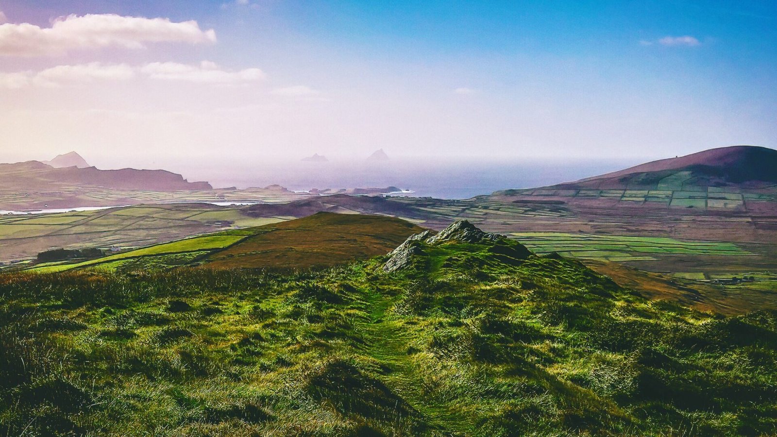
Aerial Survey
Aerial survey techniques have revolutionized the way archaeologists view and interpret landscapes. By utilizing aerial photography and drone technology, researchers can capture images of large areas from above, revealing features that are not easily discernible from the ground. In Ireland, aerial surveys have uncovered numerous archaeological sites, including ancient field systems, burial mounds, and ritual landscapes. The ability to see these features from above allows for a broader understanding of how prehistoric people interacted with their environment and how they organized their settlements.
Geophysical Survey
Geophysical survey methods, such as ground-penetrating radar (GPR) and magnetometry, provide a non-invasive means of exploring subsurface features. These techniques can detect anomalies in the soil that may indicate the presence of buried structures or artifacts. In the context of Irish archaeology, geophysical surveys have been instrumental in identifying the layout of ancient settlements and ceremonial sites without disturbing the ground. This is particularly important in preserving the integrity of the sites while still gathering valuable data.
Remote Sensing Technologies
Remote sensing technologies have emerged as powerful tools in the field of archaeology, enabling researchers to analyze landscapes at unprecedented scales and depths. These methods leverage various forms of electromagnetic radiation to gather information about the Earth’s surface, revealing both natural and anthropogenic features.
LiDAR (Light Detection and Ranging)
LiDAR has gained prominence in archaeological research for its ability to penetrate vegetation and generate high-resolution topographic maps. In Ireland, LiDAR has been used to uncover previously obscured archaeological features, such as ring forts, enclosures, and ancient roadways. By creating detailed 3D models of the terrain, LiDAR allows archaeologists to visualize how prehistoric communities may have interacted with their environment, including the placement of monuments in relation to natural landmarks.
Satellite Imagery
Satellite imagery offers a broader perspective on archaeological landscapes, allowing researchers to analyze large areas over time. This method can reveal changes in land use, vegetation patterns, and even the effects of climate change on archaeological sites. In Ireland, satellite imagery has been utilized to monitor the condition of ancient monuments and assess the impact of agricultural practices on the preservation of these sites. Moreover, the integration of satellite data with other survey techniques enhances the ability to identify potential sites for further investigation.
Photogrammetry
Photogrammetry is a technique that involves taking multiple photographs of a site from different angles and using software to create 3D models. This method is particularly useful for documenting the condition of archaeological features and artifacts. In the context of Irish prehistory, photogrammetry has been employed to create detailed representations of stone structures, such as dolmens and standing stones, allowing for in-depth analysis and preservation of these culturally significant sites.
Integrating Survey Techniques with Mythology
The landscapes of Ireland are not just physical spaces; they are imbued with mythological significance that shapes cultural identity. The integration of survey techniques and remote sensing with the study of mythology offers a unique lens through which to interpret the archaeological record. For instance, many prehistoric sites in Ireland are associated with mythological narratives, such as the tales of the Tuatha Dé Danann or the legends surrounding the Hill of Tara.
Mythological Landscapes
Certain landscapes are steeped in myth, and understanding these connections can enrich archaeological interpretations. For example, the alignment of monuments with celestial events, such as solstices and equinoxes, often reflects the beliefs and practices of prehistoric communities. By employing survey techniques to map these alignments, archaeologists can uncover the ways in which ancient peoples may have engaged with their environment in a ritualistic context.
Ritual and Ceremony
Survey techniques can also help identify sites of ritual and ceremony, which are often central to mythological narratives. The discovery of circular enclosures, standing stones, and other structures can provide insights into the ceremonial practices of prehistoric communities. By examining the spatial relationships between these sites and their surrounding landscapes, researchers can better understand the significance of place in the context of myth and ritual.
Challenges and Future Directions
While survey techniques and remote sensing technologies have greatly advanced the field of archaeology, challenges remain. Issues such as funding, access to technology, and the need for interdisciplinary collaboration can hinder research efforts. However, as technology continues to evolve, the potential for new discoveries in Irish prehistory remains vast.
The future of archaeology in Ireland lies in the continued integration of traditional survey methods with cutting-edge remote sensing technologies. By fostering collaboration between archaeologists, geographers, and specialists in remote sensing, researchers can develop innovative approaches to exploring the rich archaeological landscapes of Ireland. Ultimately, the stories of Ireland’s prehistoric past—woven into the very fabric of its landscapes—await further exploration and understanding through the lenses of survey techniques and remote sensing.