Mount Sandel: A Geographical Perspective on Irish Prehistory
Mount Sandel, situated near the banks of the River Bann in County Londonderry, Northern Ireland, is a site steeped in both history and mythology. It is one of the earliest known human settlements in Ireland, dating back to around 7000 BC. The geographical features of Mount Sandel not only provide a backdrop for understanding the lives of its ancient inhabitants but also offer insights into how the landscape shaped their culture, beliefs, and interactions with the environment. In this exploration, we will delve into the geographical features of Mount Sandel, its proximity to water sources and natural resources, and the broader implications of these elements on Irish prehistory.
Geographical Features of Mount Sandel
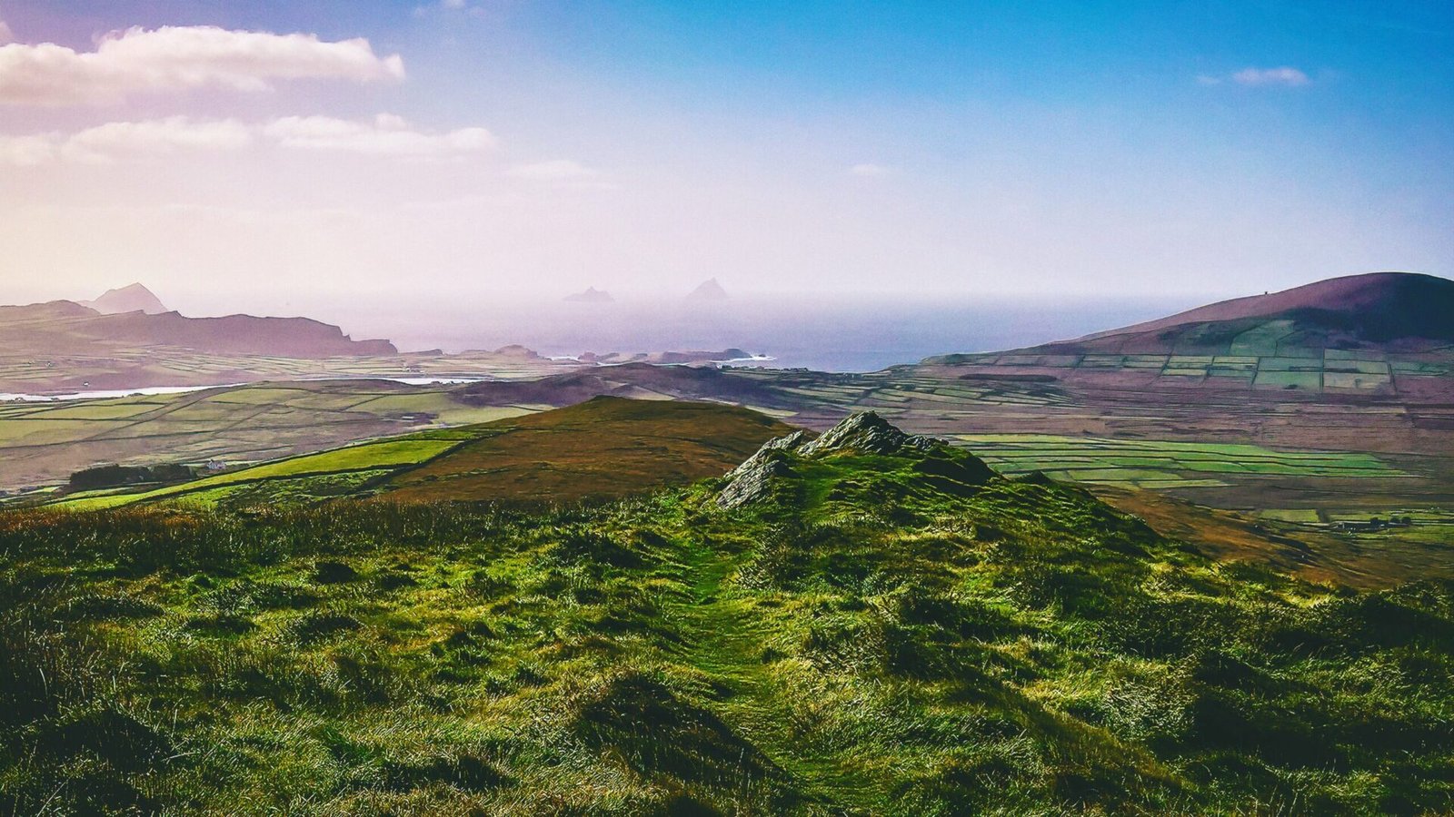
Mount Sandel is characterized by its elevated position, which affords a commanding view of the surrounding landscape. The site itself is a small hillock, rising gently above the flat terrain of the River Bann valley. This elevation would have provided early settlers with a strategic advantage, allowing them to survey the area for potential threats and opportunities. The hill is surrounded by fertile plains, which would have been ideal for foraging and early forms of agriculture.
The soil in the region is primarily alluvial, enriched by the sediment deposited by the River Bann over millennia. This rich soil would have supported a diverse array of plant life, making it an attractive location for hunter-gatherer communities. The proximity to the river not only provided sustenance in the form of fish and other aquatic resources but also facilitated trade and communication with other groups.
Proximity to Water Sources
One of the most significant geographical features of Mount Sandel is its close proximity to water sources. The River Bann, one of the longest rivers in Ireland, flows just a stone’s throw away from the site. This river is not only a vital source of fresh water but also a rich habitat for fish and other aquatic life. Archaeological evidence suggests that the inhabitants of Mount Sandel relied heavily on the river for sustenance, utilizing fishing techniques that would have been advanced for their time.
The river’s seasonal fluctuations would have influenced the availability of resources, prompting early communities to adapt their lifestyles accordingly. During periods of high water, the river would have flooded surrounding areas, creating temporary wetlands that attracted a variety of wildlife. This seasonal bounty would have been a boon for the hunter-gatherers, providing ample opportunities for hunting and gathering.
Moreover, the River Bann served as a natural highway, facilitating movement and trade between different groups. The strategic location of Mount Sandel allowed its inhabitants to engage in exchange networks, sharing resources, ideas, and cultural practices with neighboring communities. This connectivity underscores the importance of water sources in shaping social dynamics and cultural development in prehistoric Ireland.
Natural Resources and Their Impact
Beyond its proximity to water, Mount Sandel is situated in an area rich in natural resources. The surrounding landscape is dotted with forests, providing timber for construction, fuel, and tools. Archaeological findings indicate that the inhabitants of Mount Sandel crafted a variety of implements from wood, including fishing gear and hunting tools. The availability of these resources would have been crucial for their survival and adaptation to the environment.
Additionally, the region is home to a variety of flora and fauna, which would have been integral to the diet of the early settlers. The forests would have offered nuts, berries, and edible plants, while the river provided fish and other aquatic resources. The diverse ecosystem surrounding Mount Sandel allowed for a varied diet, which is essential for the health and longevity of any community.
The presence of flint in the area also suggests that early inhabitants engaged in tool-making activities. Flint was a valuable resource for creating sharp tools and weapons, and its availability would have been a significant factor in the site’s attractiveness to early settlers. The ability to produce and maintain tools would have played a crucial role in the community’s ability to thrive in a challenging environment.
The Influence of Landscape on Mythology
The geographical features of Mount Sandel and its surroundings have not only shaped the lives of its prehistoric inhabitants but have also influenced the myths and legends that have emerged over the centuries. The landscape itself often plays a central role in Irish mythology, serving as a canvas upon which stories of gods, heroes, and supernatural beings are painted.
Mount Sandel’s elevated position and proximity to the River Bann may have contributed to its significance in local folklore. The river, often personified as a living entity in Irish mythology, is frequently associated with themes of life, death, and rebirth. Myths surrounding water sources often reflect the importance of these natural features in the lives of the people, serving as a reminder of their dependence on the land for survival.
Furthermore, the site’s strategic location may have made it a focal point for gatherings and rituals. The combination of natural beauty and resource abundance would have created a sacred space where communities could come together to celebrate, trade, and share stories. Such gatherings would have fostered a sense of identity and belonging, further entwining the landscape with the cultural fabric of the people.
The Interplay of Geography and Culture
The interplay between geography and culture is evident in the archaeological findings at Mount Sandel. The artifacts uncovered at the site, including tools, pottery, and remnants of food, reflect a deep connection between the people and their environment. The choices made by these early inhabitants—where to settle, what to eat, and how to interact with their surroundings—were all influenced by the geographical features of Mount Sandel.
The rich tapestry of life at Mount Sandel illustrates how geography shapes not only the physical existence of a community but also its cultural identity. The landscape serves as both a resource and a muse, inspiring stories, traditions, and practices that endure through generations. As we explore the myths and legends associated with this ancient site, we gain a deeper understanding of how the natural world has shaped human experience throughout history.
In summary, Mount Sandel stands as a testament to the intricate relationship between geography and human life in prehistoric Ireland. Its geographical features—elevation, proximity to water sources, and rich natural resources—have played a pivotal role in shaping the lives, cultures, and myths of its ancient inhabitants. The site not only provides a glimpse into the past but also invites us to reflect on the enduring connection between people and the landscapes they inhabit.