Geological Foundations: The Landscape as a Historical Record
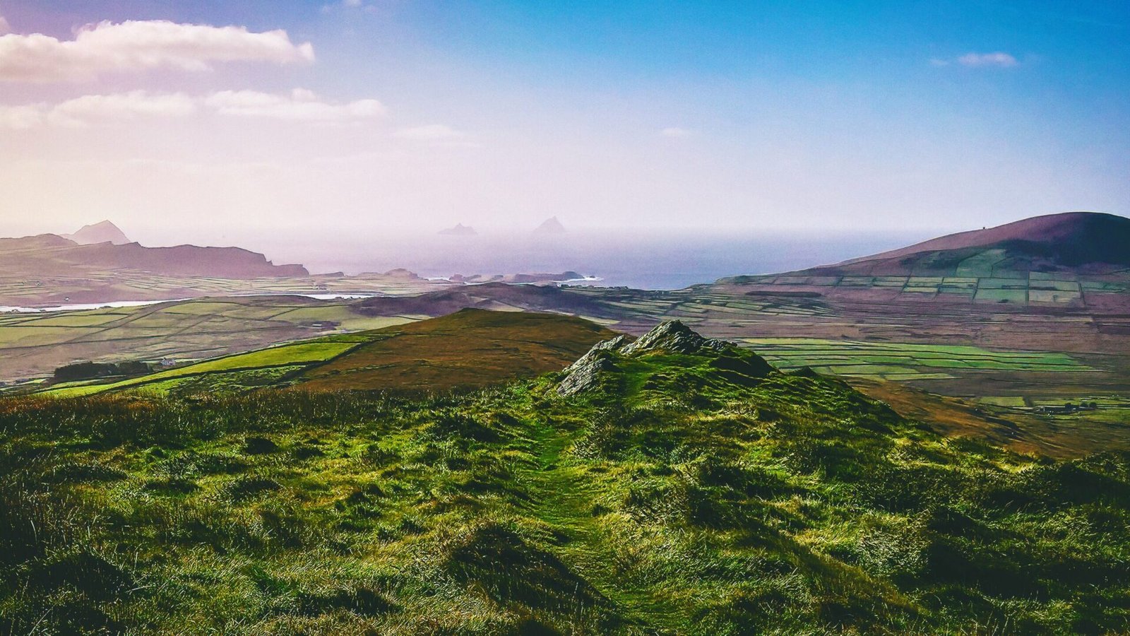
Ireland’s landscape is a tapestry woven from the threads of time, each geological layer telling a story of ancient forces that shaped the land we see today. The geological history of Ireland is not just a background to its rich tapestry of mythology and prehistory; it is the very foundation upon which these narratives are built. From the rugged cliffs of the west coast to the rolling hills of the midlands, the geological features of Ireland have influenced human settlement, cultural development, and the legends that have been passed down through generations.
Overview of Ireland’s Geological History
Ireland’s geological history spans over 1.5 billion years, beginning with the formation of the ancient continental crust. The oldest rocks, found in the northwest of the country, are remnants of a time when the land was part of a supercontinent. As the Earth evolved, Ireland underwent significant geological transformations, including volcanic activity, sedimentation, and tectonic movements.
The most significant events in Ireland’s geological history occurred during the Paleozoic Era, particularly in the Carboniferous period (around 359 to 299 million years ago), when vast tropical seas covered the region. The deposition of limestone, shale, and sandstone formed the foundation of many of Ireland’s iconic landscapes. The subsequent periods saw the rise of mountain ranges, such as the Mourne Mountains and the Macgillycuddy’s Reeks, shaped by the forces of plate tectonics.
The Mesozoic Era brought about a quieter time, but the Cenozoic Era, marked by the Ice Ages, dramatically altered the landscape. Glacial activity carved out valleys, shaped hills, and left behind a unique topography that is essential to understanding both the natural environment and the archaeological record.
Types of Rock Formations and Their Significance
Ireland’s geology is characterized by a diverse array of rock types, each with its own significance. The country is primarily composed of three main rock types: igneous, sedimentary, and metamorphic.
Igneous Rocks
Igneous rocks, formed from cooled magma, are most prominently represented by the granite of the Mourne Mountains and the basalt columns of the Giant’s Causeway. These formations not only showcase the dramatic volcanic history of the region but also serve as landmarks steeped in myth. The Giant’s Causeway, a UNESCO World Heritage Site, is steeped in folklore, with tales of giants and epic battles that echo the geological forces that created it.
Sedimentary Rocks
Sedimentary rocks, particularly limestone, dominate much of the Irish landscape. The Burren, a karst region in County Clare, is an excellent example of how sedimentary processes have shaped the land. The unique topography of the Burren, with its exposed limestone pavements and deep fissures, supports a rich biodiversity and has been a site of human activity for thousands of years. Archaeological sites, such as the ancient tombs of Poulnabrone, are directly linked to the limestone landscape, showcasing how the natural environment influenced burial practices and settlement.
Metamorphic Rocks
Metamorphic rocks, formed under heat and pressure, are less common but can be found in regions like the Donegal Mountains. These rocks often contain minerals that were once part of sedimentary or igneous formations, offering insights into the geological processes that have shaped the land over time. The presence of slate in these areas has historically influenced local building practices, with slate quarries providing materials for construction.
Influence of Glaciation on the Landscape
The most significant geological event in shaping Ireland’s current landscape was the last Ice Age, which ended around 12,000 years ago. Glaciers advanced and retreated, sculpting valleys, creating lakes, and depositing a variety of sediment. The impact of glaciation is evident in the U-shaped valleys of the west and the drumlins scattered across the midlands.
The glacial meltwaters created many of the lakes we see today, including the stunning Lough Corrib and Lough Neagh. These bodies of water have not only shaped the landscape but have also played a crucial role in human settlement. Archaeological evidence suggests that early settlers were drawn to these fertile areas, leading to the establishment of communities that would eventually contribute to Ireland’s rich cultural heritage.
Relationship Between Geology and Archaeological Sites
The relationship between Ireland’s geology and its archaeological sites is profound. Many ancient monuments, such as passage tombs, stone circles, and ring forts, are strategically located in areas with specific geological features. The choice of location often reflects the natural resources available, as well as the symbolic significance of the landscape.
For instance, the Neolithic passage tombs at Newgrange and Knowth are constructed from local granite and limestone, materials that were readily available to the builders. These sites are not only architectural marvels but also align with astronomical events, indicating a sophisticated understanding of the natural world and its cycles.
Moreover, the presence of certain rock types can influence the preservation of archaeological materials. For example, the acidic soils of the boglands have preserved wooden artifacts, textiles, and even human remains, offering a glimpse into life thousands of years ago. The discovery of the bog bodies—well-preserved remains found in peat bogs—has provided invaluable insights into the rituals and practices of ancient peoples.
Natural Resources and Settlement Patterns
Ireland’s geological diversity has played a crucial role in shaping settlement patterns throughout history. The availability of natural resources, such as limestone for agriculture, granite for construction, and peat for fuel, has influenced where communities chose to establish themselves.
The fertile soils of the limestone regions, particularly in the midlands, supported agriculture, leading to the development of farming communities. In contrast, the rocky terrain of the west may have encouraged a more pastoral lifestyle, with communities relying on livestock rather than crop cultivation.
Mineral resources, such as copper and lead, have also shaped settlement patterns. The mining of these resources in places like County Kerry and County Wicklow attracted populations seeking work and economic opportunities. The remnants of these mining activities can still be seen today, with old mine shafts and processing sites scattered throughout the landscape.
The Interplay of Mythology and Geology
As we explore Ireland’s geological foundations, it becomes clear that the landscape is not merely a backdrop but an active participant in the stories of its people. The interplay between geology and mythology is rich and complex, with many sites of geological significance becoming entwined with legends and folklore.
The mountains, rivers, and stones of Ireland are often personified in myths, serving as symbols of strength, endurance, and the connection between the earthly and the divine. The story of the goddess Ériu, from whom Ireland derives its name, is deeply rooted in the land itself, illustrating how the geological features have inspired cultural narratives.
In this way, the geological foundations of Ireland serve as a historical record, preserving not only the physical evidence of the past but also the stories that have shaped the identity of the Irish people. Each rock formation, valley, and lake is a testament to the forces that have shaped the land and the lives of those who call it home, creating a landscape rich in both natural beauty and cultural significance.
Meta – Learn how Ireland’s geological features shaped its prehistory and mythology, revealing the connections between the land and its ancient stories.