Mapping Key Mesolithic Sites in Ireland
Introduction to the Mesolithic Period
The Mesolithic period, often referred to as the Middle Stone Age, marks a transformative epoch in Ireland’s prehistoric narrative. Spanning approximately from 8000 BC to 4000 BC, this era is characterized by the transition from a hunter-gatherer lifestyle to the beginnings of settled agricultural practices. The landscape of Ireland during the Mesolithic was dramatically different from today, dominated by dense forests and rich ecosystems that supported a diverse range of flora and fauna. As we delve into the geographical significance of key Mesolithic sites across Ireland, we uncover not only the archaeological treasures they hold but also the profound connection between these sites and the myths that have shaped Irish cultural identity.
The Mesolithic Landscape
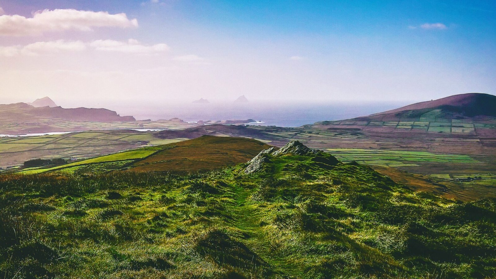
Understanding the geographical significance of Mesolithic sites necessitates a grasp of the environment in which these early communities thrived. The end of the last Ice Age saw the emergence of a temperate climate, which facilitated the growth of vast woodlands. These forests provided ample resources for Mesolithic peoples, who relied on hunting, fishing, and foraging. The rivers, lakes, and coastal areas became vital for sustenance, shaping the settlement patterns of these early inhabitants.
The geographical distribution of Mesolithic sites across Ireland reflects the availability of these resources. Coastal regions, river valleys, and areas with rich biodiversity were favored for habitation. As we explore the key sites, we will see how the interplay between geography and resource availability influenced the lifestyles and cultures of Mesolithic communities.
Key Mesolithic Sites in Ireland
Mount Sandel, County Londonderry
One of the most significant Mesolithic sites in Ireland is Mount Sandel, located near the River Bann in County Londonderry. Excavations at this site revealed evidence of some of the earliest known human habitation in Ireland, dating back to around 7000 BC. The site features a series of wooden structures, hearths, and an array of artifacts, including flint tools and animal bones.
The geographical significance of Mount Sandel lies in its proximity to fertile riverbanks and abundant fishing resources. The River Bann provided a rich source of fish, while the surrounding woodlands offered game and plant materials. The strategic location of Mount Sandel not only facilitated subsistence but also suggests a complex social structure among its inhabitants, as they gathered in groups to exploit the resources of the area.
Lough Gur, County Limerick
Lough Gur is another key Mesolithic site, renowned for its archaeological richness and stunning landscape. The site is situated around a large lake, which served as a focal point for Mesolithic communities. Excavations have uncovered evidence of habitation, including tools made from flint and bone, as well as remnants of animal remains.
The geographical significance of Lough Gur extends beyond its immediate resources. The lake itself likely held spiritual importance, as it is surrounded by numerous monuments and structures from later periods, including Neolithic and Bronze Age sites. This continuity of habitation suggests that Lough Gur was a central hub for human activity over millennia, linking the Mesolithic past with the mythological and cultural narratives that emerged in subsequent ages.
The Boyne Valley, County Meath
The Boyne Valley is a treasure trove of prehistoric sites, with the Mesolithic period represented through various archaeological finds. This region, known for its rich agricultural land and the presence of the River Boyne, was ideal for early human settlement. Sites such as the famous Newgrange and Knowth, while primarily associated with the Neolithic period, have yielded Mesolithic artifacts, indicating the long-standing significance of the area.
The Boyne Valley’s geographical features, including the river and surrounding hills, played a crucial role in shaping the lives of its Mesolithic inhabitants. The river provided a vital transportation route and a source of food, while the fertile lands supported foraging and hunting activities. This area’s enduring importance is reflected in the myths and legends that permeate Irish culture, often linking the landscape to the divine and the supernatural.
The Burren, County Clare
The Burren is a unique karst landscape that offers a different perspective on Mesolithic habitation. The region is characterized by its limestone pavements, which create a stark yet beautiful environment. Despite its seemingly inhospitable terrain, the Burren was inhabited by Mesolithic peoples who adapted to the challenges of the landscape.
Archaeological evidence from the Burren includes flint tools and remnants of animal bones, indicating that these early communities engaged in hunting and foraging. The geographical significance of the Burren lies in its biodiversity; the region is home to a variety of plant species, some of which were likely utilized by Mesolithic peoples for food and medicinal purposes. The Burren’s rugged beauty has also inspired countless myths and stories, intertwining the landscape with the cultural fabric of Ireland.
The Isle of Man and its Connection to Ireland
While not part of the mainland, the Isle of Man holds significant archaeological relevance to the study of Mesolithic Ireland. The island’s proximity to the Irish coast suggests that it was part of the same cultural and ecological landscape. Mesolithic sites on the Isle of Man, such as the Balladoole site, have revealed artifacts that parallel those found in Ireland, indicating a shared heritage.
The geographical significance of the Isle of Man lies in its role as a maritime hub. The waters surrounding the island would have facilitated trade and communication between Mesolithic communities in Ireland and the Isle of Man. This connection underscores the importance of waterways in shaping social networks and cultural exchanges during the Mesolithic period.
The Interplay of Geography and Myth
The mapping of key Mesolithic sites in Ireland not only illuminates the lives of early inhabitants but also reveals the deep-rooted connections between geography and myth. The landscapes that shaped the experiences of these communities became the backdrop for the myths and legends that emerged in later periods. Mountains, rivers, and lakes transformed into sacred spaces, imbued with stories of gods, heroes, and supernatural beings.
For instance, the River Boyne, flowing through the Boyne Valley, is steeped in mythological significance, associated with the Tuatha Dé Danann, the legendary race of gods in Irish mythology. Similarly, Lough Gur’s enchanting landscape has inspired tales of fairies and ancient spirits, linking the Mesolithic past with the rich tapestry of Irish folklore.
As we continue to explore the geographical significance of Mesolithic sites in Ireland, we uncover not only the archaeological evidence of human habitation but also the enduring legacy of these landscapes in shaping Irish identity and cultural narratives. The interplay between geography, archaeology, and mythology invites us to appreciate the complexity of Ireland’s prehistoric past and its profound influence on the myths that continue to resonate in the present.