Historical Land Use and Settlement Patterns: The Landscape as a Historical Record
The rich tapestry of Ireland’s landscape is a testament to the ebb and flow of human habitation over millennia. From the first hunter-gatherers who roamed the land to the complex societies that emerged in the Bronze and Iron Ages, the historical record of land use and settlement patterns reveals much about the interplay between people and their environment. This exploration of Ireland’s prehistory not only illuminates the past but also invites us to connect with the present-day landscape, where ancient sites and natural features continue to tell their stories.
Early Human Habitation and Migration
The story of human habitation in Ireland begins around 12,500 years ago, during the late Paleolithic period. As the last Ice Age receded, the first settlers arrived, likely following herds of animals across land bridges that connected Ireland to Britain and continental Europe. These early inhabitants were nomadic hunter-gatherers, relying on the rich resources of the land—game, fish, and wild plants. Archaeological evidence, such as flint tools and remnants of hearths, indicates that they established temporary camps near rivers and lakes, where they could access fresh water and food.
As climatic conditions improved, populations began to grow, leading to more permanent settlements. By the Mesolithic period (approximately 8000 to 4000 BCE), communities had developed a more sophisticated understanding of their environment, utilizing the diverse ecosystems of forests, wetlands, and coastal areas. This era is marked by the construction of wooden structures and the use of natural materials to create tools, which laid the groundwork for future agricultural practices.
Mesolithic, Neolithic, Bronze Age, and Iron Age Settlements
The transition from the Mesolithic to the Neolithic period (around 4000 to 2500 BCE) marked a significant shift in settlement patterns as communities began to adopt agriculture. The introduction of farming transformed the landscape, leading to the establishment of more permanent villages. Evidence of these early Neolithic settlements can be found in sites like Newgrange and Loughcrew, where monumental structures were built, reflecting the growing complexity of social organization and spiritual beliefs.
During the Bronze Age (approximately 2500 to 500 BCE), Ireland saw further advancements in technology and social structures. The development of metallurgy allowed for the creation of tools and weapons, which in turn facilitated agricultural expansion. Settlement patterns during this time were often concentrated in areas with fertile soil, particularly in the river valleys and plains. Archaeological sites such as the Hill of Tara and the various ring forts scattered across the countryside illustrate the emergence of fortified settlements, indicating a shift towards more hierarchical societies.
The Iron Age (500 BCE to 400 CE) brought about further changes in land use and settlement. The introduction of iron tools and weapons allowed for more efficient farming and hunting practices. Settlements became more complex, with the construction of hill forts and crannogs—artificial islands built in lakes. These structures not only served as defensive positions but also as symbols of power and status. The relationship between these settlements and the surrounding landscape became increasingly intertwined, as communities adapted to and shaped their environments.
Agricultural Practices and Their Impact on the Landscape
The advent of agriculture had a profound impact on Ireland’s landscape. As communities transitioned from a hunter-gatherer lifestyle to one based on farming, they began to clear forests and cultivate land. This process of land modification resulted in the creation of fields, pastures, and enclosures, which altered the natural environment significantly. The introduction of domesticated animals, such as cattle and sheep, further transformed the landscape, leading to overgrazing in some areas and the depletion of local resources.
Archaeobotanical evidence reveals that early farmers cultivated a variety of crops, including barley, wheat, and oats. The practice of crop rotation and the use of animal manure as fertilizer became common, enhancing soil fertility and productivity. However, these agricultural practices also led to soil erosion and changes in local ecosystems, as wetlands were drained and forests were cleared to make way for fields.
Shifts in Land Use Over Time
As Ireland’s societies evolved, so too did their relationship with the land. The shifts in land use over time reflect broader changes in economic systems, social structures, and environmental conditions. During the early medieval period, for example, monastic communities emerged, leading to a renewed focus on agriculture and land management. These communities often established extensive farming operations, which contributed to the landscape’s transformation.
The Viking invasions in the 8th and 9th centuries introduced new dynamics to land use, as settlements expanded into urban centers and trade networks developed. The establishment of towns and ports along the coast marked a shift from rural to more urbanized living, further altering settlement patterns. The subsequent Norman invasion in the 12th century brought about feudal land management practices, leading to the establishment of castles and manorial estates that reshaped the landscape once again.
Relationship Between Settlement Patterns and Natural Features
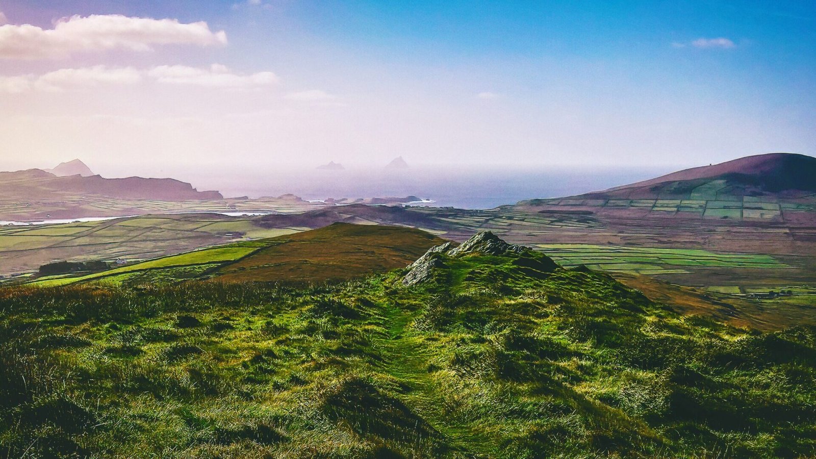
The relationship between settlement patterns and natural features is a defining characteristic of Ireland’s historical landscape. Rivers, mountains, and fertile plains have all played crucial roles in shaping where and how communities settled. Rivers, for instance, served as vital transportation routes and sources of water, influencing the location of early settlements. The River Shannon, Ireland’s longest river, has been a focal point for human activity for thousands of years, with numerous archaeological sites lining its banks.
Mountains, too, have influenced settlement patterns, often serving as natural barriers that defined territorial boundaries. The rugged terrain of the Wicklow Mountains and the Mourne Mountains, for example, created isolated communities that developed distinct cultural identities. In contrast, the fertile plains of the midlands and the coastal lowlands attracted larger populations, facilitating agricultural development and trade.
Fertile plains, particularly in areas like the Boyne Valley and the Shannon Basin, have been the heartlands of Irish agriculture for millennia. These regions supported the growth of early farming communities and continue to be significant agricultural areas today. The interplay between human settlement and these natural features illustrates the dynamic relationship between people and their environment, a theme that resonates throughout Ireland’s history.
Connecting the Past to the Present
As we traverse the Irish landscape today, we encounter the remnants of these ancient settlements and agricultural practices. From the megalithic tombs of the Neolithic period to the ring forts of the Iron Age, each site serves as a reminder of the enduring connection between humanity and the land. The stories embedded in these locations invite us to reflect on our own relationship with the environment and to appreciate the rich historical record that the landscape provides.
Visiting these sites not only allows for a deeper understanding of Ireland’s prehistory but also fosters a sense of connection to the land itself. Whether standing before the imposing stones of Newgrange or wandering through the lush fields of the Boyne Valley, we are reminded that the landscape is not merely a backdrop to human history; it is an active participant in the narrative of our past, present, and future.
Meta – Learn about Ireland’s historical land use and settlement patterns, revealing the connections between ancient practices, mythology, and significant sites across the landscape.